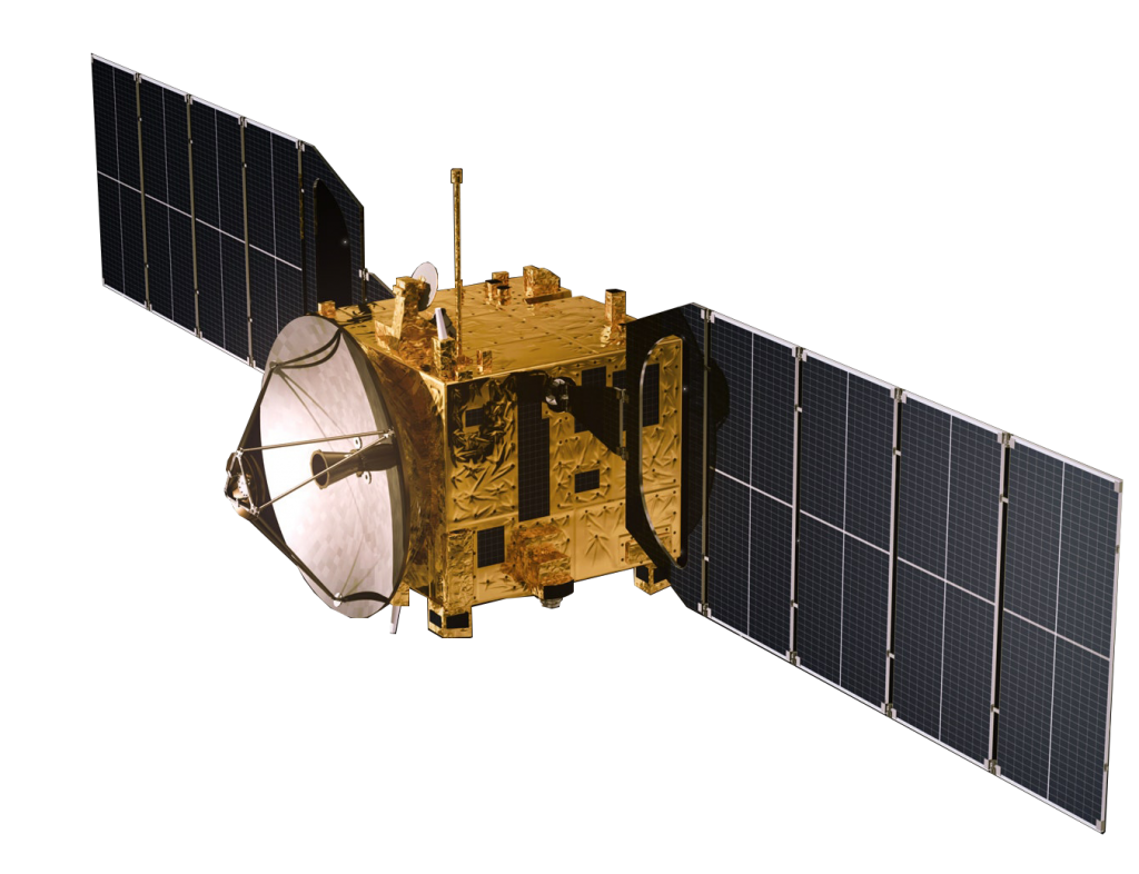
Merida Aerospace, recognizes the immense potential of data control and to its ever expanding importance in the aerospace industry as well as other industries. Our Data Control Division is continuously making technological advancements, offering a comprehensive range of services that drive growth and innovation across multiple industries. Here’s a glimpse into the exciting world of satellite data services:
PIONEERING ADVANCEMENTS IN GEOSPATIAL IMAGERY ANALITICS
Witness the transformative power of geospatial imagery analytics. The introduction of cutting-edge technologies like Ai and big data has paved the way for unprecedented insights into our world. By harnessing the power of data, we’re unveiling hidden patterns, mapping environments, and enabling smarter decision-making.
PRECISION THROUGH HYPERSPECTRAL SATELLITE IMAGERY
Explore the world of hyperspectral satellite imagery and its integration with field and laboratory data. Experience the emergence of precise soil analysis, revealing measurable soil properties linked to degradation status. From chemical characteristics to mineral composition, we are deciphering the Earth’s language with accuracy.
EMPOWERING COMMERCIAL GROWTH
Discover the practical applications encompassing geological mapping, continuous pipeline monitoring, tracking of large-scale projects, and enhancement of shipping route efficiency. Embracing the evolving landscape of technology, pivotal advancements like autonomous drilling and satellite-guided monitoring stand out as instrumental components with the potential to revolutionize operations.
ELEVATING DATA ANALYTICS
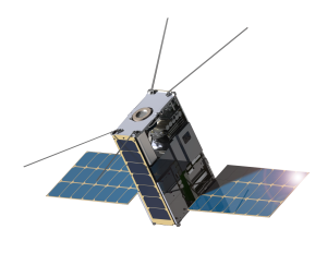
In today’s data-driven landscape, our Data Analytics Division is at the forefront of innovation. Dive into the world of advanced analysis focused on image data processing. Our experts specialize in transforming raw data into practical insights through techniques like pan-sharpening and orthorectification. These services play a crucial role in GIS mapping and data analysis.
A ROADMAP TO THE FUTURE
Join us at the forefront of aerospace innovation. Merida Aerospace’s Data Control Division empowers industries with transformative satellite data services. As the satellite data landscape evolves, we’re committed to shaping its course, driving growth, and ensuring a sustainable and connected future. Welcome to a world where data doesn’t just hold answers it holds possibilities.
Experience the Power of Data with Merida Aerospace’s Data Control Division. Contact us today to embark on a journey into the future.
Projected Growth of Satellite Data Service Market
The satellite data services market size is projected to
grow from USD 7.5 billion in 2019 to USD 23.4 billion
by 2025, at a CAGR of 21.0% from 2019 to 2025. Some
of the factors that are expected to fuel the growth of
the market are significant advancements in geospatial
imagery analytics with the introduction of A1 and big
data, privatization of space industry, and growth of
cloud computing.
Based on the vertical, the environmental segment of
the satellite data services industry is projected to
grow at the highest CAGR from 2019 to 2025. Satellite
data or imagery is used in large turnkey projects to
analyze their expected impact on the environment,
boost their efficiency, and lessen their carbon footprint.
Hyperspectral satellite imagery incorporated
with field and laboratory data for analysis can be used
to derive more quantitative and precise soil properties
directly linked to soil degradation status, such as soil
chemical properties, organic matter, mineralogical
content, etc.
Based on the end-use, the commercial segment of the
satellite data services market is projected to grow at
the highest CAGR from 2019 to 2025. The extensive
use of satellite imagery for multi-scale geological
mapping, monitoring pipelines via satellite in near
real-time, track large project developments, shipping
routes, construction sites, the need for satellite data
services has increased over the years, and as
technology gets more advanced, autonomous drilling
and monitoring via satellite will play a key role in
commercial industries Based on service, the data analytics
segment of the satellite data services market is projected
to grow at the highest CAGR from 2019 to 2025.
The data analytics division is segmented further into image
data processing which includes pan-sharpening,
orthorectification, mosaicking, cloud patching, and
others. Demand for these services will grow during the
forecast period as a combination of them are required
as a prerequisite for developing GIS maps and
analyzing data presented in a satellite image.

